Estimating surfaces, earthworks, shaper, as-builts and render digital models for golf projects
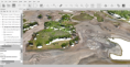
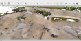
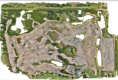
AERIAL MAPPING
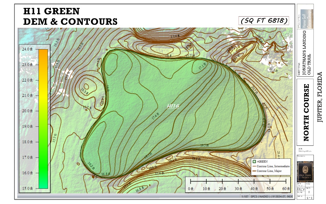
Working closely with engineers in South Korea since 2013 revealed the real value of combining drone technology with GNSS surveying to provide the project team with accurate and actionable spatial data at every stage of construction.
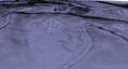
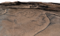
- Drone based aerial surveys
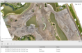
- GNSS ground control point integration
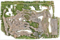
- Orthophoto production
- Digital elevation model generation
- Contour map production
- Real time construction progress monitoring
- Earthwork volume verification
- As built condition documentation
Aerial Mapping
.png)